

Arizona may be known for desert landscapes and sunny skies, but the Salt River rafting season starts with something much colder: snow.
Each winter, storms bring snow and rain to the high country of eastern Arizona. Snow accumulating in the White Mountains and surrounding headwaters stores water that can eventually make its way into the Black and White Rivers, then into the Upper Salt River and through Salt River Canyon.
That makes winter snowpack one of the earliest clues about the rafting season ahead. But understanding the connection between Arizona snowpack and the Salt River season isn’t as simple as seeing snow in the forecast. Where that snow falls, how much water it contains, and how quickly it melts all matter.
Table of Contents
How snowmelt reaches Salt River Canyon: Winter precipitation in Arizona’s White Mountains feeds mountain streams and the Black and White Rivers. The Black and White Rivers join to form the Salt River, which flows west into Salt River Canyon.
Where Does the Salt River's Snowmelt Come From?
Not every snowy mountain in Arizona contributes water to the Salt River. To understand the potential rafting season, you have to look specifically at the mountains and drainage basins that feed the Upper Salt.
Much of that story begins in the White Mountains of eastern Arizona, where elevations climb above 11,000 feet around Mount Baldy. Snow accumulating across these high-elevation headwaters feeds streams within both the Black and White River watersheds, which eventually come together to form the Salt River.
Mount Baldy and the surrounding high country feed both of the major river systems that eventually form the Salt:
- Black River: Headwater streams draining the Mount Baldy area and southern White Mountains contribute to the Black River. Reservation Creek, Pacheta Creek, Bonita Creek, and other mountain streams also feed the river as it flows west.
- White River: On the northern side of Mount Baldy, snowmelt drains into the North Fork of the White River. The North Fork eventually joins the East Fork to form the White River.
The Black and White Rivers then meet to form the Salt River, carrying water collected across these high-elevation headwaters west toward Salt River Canyon.
This is why snowpack in the White Mountains matters so much when looking ahead to the rafting season. Snow accumulating thousands of feet above the canyon is essentially water in storage. How much accumulates through winter, and how it melts in spring, helps determine the runoff that eventually reaches the Upper Salt.
How Arizona’s Salt River Snowpack Is Measured
When you’re trying to understand what a winter could mean for the Salt River, simply looking at snow depth doesn’t tell the whole story. A more useful measurement is snow water equivalent, commonly shortened to SWE. SWE measures how much water would remain if the snowpack melted completely. That’s important because 10 inches of light, powdery snow can contain much less water than 10 inches of dense, wet snow.
The Natural Resources Conservation Service monitors Arizona snowpack and snow water equivalent throughout the winter. Snowpack reports also frequently show percent of median, which compares the amount of water currently stored in the snow with historical conditions for the same date.
For example:
- 100% of median: Current SWE matches the historical median for that date.
- Above 100%: More water is stored in the snowpack than the median for that point in the season.
- Below 100%: Snowpack is running below the historical median.
But 100% of median doesn’t guarantee an average Salt River rafting season. Snowpack tells us how much potential water is stored in the mountains. What happens to that water next is just as important.
Arizona Snowpack and the Salt River Season: What Happens Month by Month
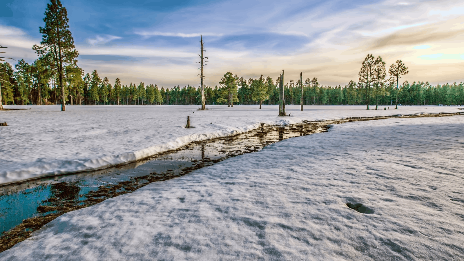
Snowpack conditions become more useful for predicting the Salt River season as winter progresses.
December–January: Snow begins accumulating at higher elevations in the Salt River watershed. Individual storms can look promising, but it’s generally too early to draw conclusions about the spring rafting season.
February: The overall pattern becomes more meaningful. Consistent storms and growing SWE in the Salt River headwaters can be encouraging, but there’s still time for conditions to change.
March: Attention increasingly shifts toward temperatures and snowmelt. As runoff begins making its way from mountain streams into larger tributaries, actual Salt River flows start telling us more about the season.
April–May: Remaining snowmelt and spring precipitation can help sustain flows. At this point, however, current river levels are much more useful for trip planning than winter snowpack percentages.
Once runoff begins, Salt River CFS and current flow conditions become the better way to understand what is actually happening on the water.
Why a Big Snow Year Doesn’t Guarantee a Long Rafting Season
A deep snowpack gives the Salt River more potential water, but how that snow melts determines how it reaches the river. Imagine two winters ending with similar amounts of water stored in the White Mountains.
In one year, temperatures warm gradually. Snow melts over a longer period, steadily feeding mountain streams and tributaries and helping maintain river flows. In another year, temperatures climb rapidly. A large portion of the snowpack can melt over a much shorter period, potentially creating a quick surge of runoff followed by declining flows.
Other factors matter, too. Late-winter storms can add to the snowpack, rain can contribute additional runoff, and soil conditions influence how much melting snow reaches streams rather than soaking into the ground.
That’s why there’s no single snowpack percentage that guarantees a certain length of Salt River rafting season. Snowpack gives us an indication of how much water may be available; spring weather helps determine when and how that water reaches the river.
What Does Snowpack Mean for Your Salt River Rafting Plans?
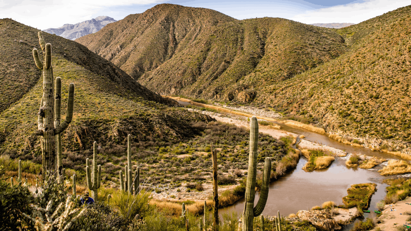
If you’re hoping to raft the Salt River, winter snowpack provides an early look at whether the season is beginning to take shape. The information worth watching changes as spring gets closer:
During winter: Pay attention to snowpack and SWE in the Salt River’s eastern Arizona headwaters rather than relying solely on statewide snowfall totals.
As temperatures warm: Watch how quickly that snowpack begins melting and whether additional storms continue adding precipitation.
Once runoff begins: Shift your attention to actual river flows. Arizona Rafting’s current Salt River conditions provide a better picture of what’s happening in the canyon as the rafting season approaches.
Unlike rivers with predictable scheduled releases, the Upper Salt responds directly to conditions within its watershed. When those conditions come together, spring runoff creates the opportunity to raft the Salt River through one of Arizona’s most dramatic canyons.

From Arizona Snowpack to Salt River Whitewater
Every Salt River season begins well before spring, with winter storms building snowpack high in the White Mountains. How much snow accumulates, where it falls, and how it melts all help determine what eventually reaches the river.
That natural variability is part of what makes rafting the Upper Salt unique. There’s no guaranteed season from year to year, but when winter conditions line up and runoff begins flowing through Salt River Canyon, it creates a spring whitewater experience worth watching for.
As the season approaches, keep an eye on current Salt River conditions and start planning your Salt River rafting trip.
Frequently Asked Questions About Arizona Snowpack and the Salt River
Does the Salt River depend on snowpack?
Winter snowpack in eastern Arizona’s high country is an important contributor to spring flows on the Upper Salt River. Snowmelt from the White Mountains feeds streams and the Black and White Rivers, which join to form the Salt. Rainfall, temperatures, soil conditions, and other factors also influence runoff.
What does 100% snowpack mean in Arizona?
When snowpack is reported at 100% of median, current snow water equivalent matches the historical median for that date and reporting area. It doesn’t mean there is a 100% chance of a Salt River rafting season or guarantee average spring flows.
When will we know if there will be a Salt River rafting season?
The outlook becomes clearer as winter progresses, but snowpack alone can’t confirm a rafting season. Late-winter precipitation, spring temperatures, snowmelt timing, and actual river flows all matter. Once runoff begins, current Salt River CFS becomes a more useful measure of rafting conditions.