
Long before there was a Salt River Canyon, there were ancient mountains, shallow seas, volcanic eruptions, and slow-moving forces reshaping the Southwest.
The river you raft today is simply the latest chapter in a story nearly two billion years old—one involving ancient seas, mountain building, shifting tectonic plates, and thousands of years of Indigenous history and stewardship.
Long before the canyon became one of Arizona’s premier whitewater destinations, it was—and remains—part of the ancestral and present-day homelands of Western Apache people, including the White Mountain Apache Tribe and the San Carlos Apache Tribe. This is not an empty wilderness with history added later. It is a living cultural landscape with communities, knowledge, and responsibilities tied to it today.
Today, every cliff, rapid, and side canyon tells part of that larger story. The canyon walls expose rock formed in very different eras. Tributaries carry boulders into the river and help create rapids. Snow falling high in the White Mountains can decide whether the Upper Salt comes alive the following spring.
This guide brings those stories together: how the rocks formed, how the river carved the canyon, where the water comes from, why the landscape matters to Indigenous nations, and what becomes easier to understand when you see the canyon from river level.
Table of Contents
Salt River Canyon History at a Glance
Approximate Time | What Was Happening |
More than 1 billion years ago | Some of the oldest rocks now exposed near the river formed deep in Earth’s crust or from ancient sediments later changed by heat and pressure. |
Hundreds of millions of years ago | Coastlines and shallow seas moved across the region, leaving behind sandstone, shale, and limestone. |
Later geologic periods | Magma pushed into older rock and cooled underground, forming dark diabase that still stands out along parts of the canyon. |
Tens of millions of years ago | Mountain building, volcanism, faulting, and later stretching changed the elevation and shape of central Arizona. |
Over the last several million years | A connected Salt River system cut downward while floods, tributaries, weathering, and rockfall widened the canyon. |
For thousands of years to today | Western Apache people have lived with, traveled through, cared for, and remained connected to this landscape. |
Every winter and spring | Snow, rain, temperature, and runoff continue to decide how much water reaches the Upper Salt—and how the river changes the canyon next. |
Where Is the Salt River Canyon?
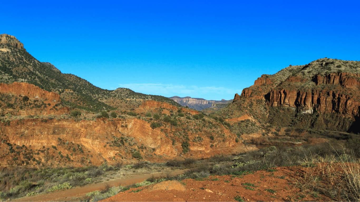
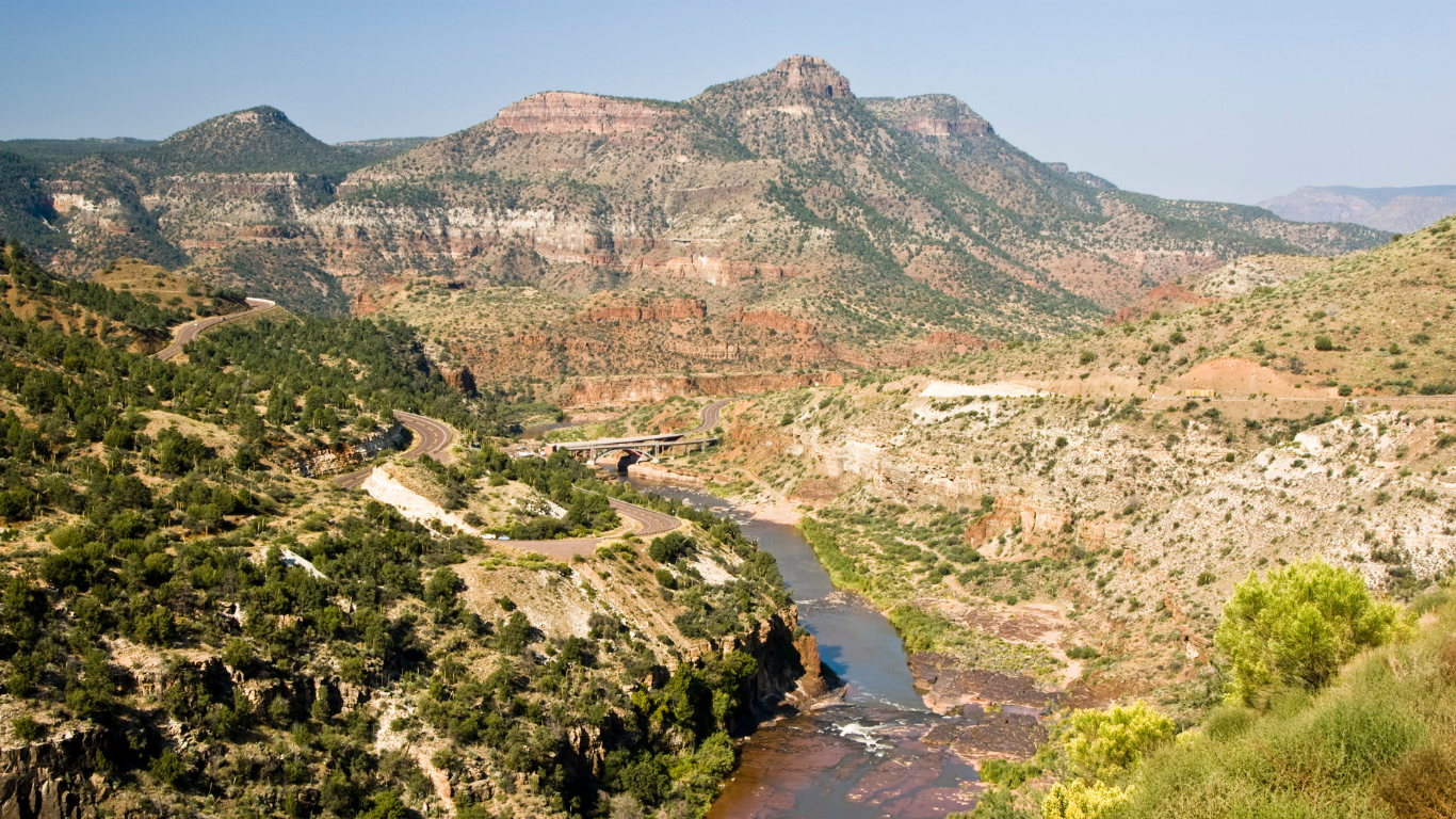
Salt River Canyon sits in east-central Arizona, where the forests and high country of the White Mountains begin dropping toward the warmer deserts and basins of central Arizona. U.S. Route 60 crosses the river between Globe and Show Low, giving drivers a dramatic view from above. But the highway reveals only a small part of the canyon.
Away from the road crossing, the Upper Salt winds through remote country connected to the White Mountain Apache Tribe and the San Carlos Apache Tribe, along with national forest and designated wilderness. Long stretches have no road beside the water. From a raft, the river becomes the route through the landscape.
That mountain-to-desert transition is central to the canyon’s character. The Salt begins in cool, high-elevation country and quickly drops into a much warmer, drier corridor. When winter snowpack and spring temperatures line up, that drop helps turn the Upper Salt into one of Arizona’s premier spring whitewater rivers.
How the Salt River Canyon Formed
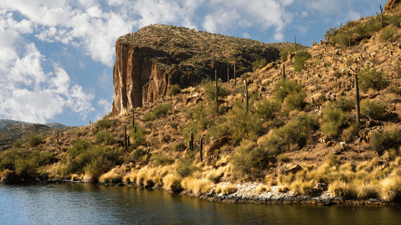
Look up from the river and it is easy to think the canyon walls have always been there. They have not. The rocks are ancient, but the canyon exposing them is much younger.
Salt River Canyon did not form in one dramatic event. It came together in stages as rock formed, seas advanced and retreated, magma moved underground, mountains rose, faults broke the crust, and the river found a steep path toward lower country.
Ancient Rock Created the Foundation
Some of the oldest rock near the river formed more than a billion years ago. You do not need to know every formation name to notice it. In places, the walls turn dark, steep, and solid. Elsewhere, lighter ledges sit above them like steps.
One important rock is quartzite, which began as quartz-rich sand before heat and pressure turned it into something far harder. Another is diabase, a dark rock formed when magma cooled below the surface. Because these rocks resist erosion, they often hold their shape while softer material wears away around them.
That difference matters on the river. Hard rock can narrow the channel, create ledges, and help shape rapids. At Quartzite Falls, the connection between geology and whitewater is impossible to miss: the rock does not simply frame the rapid; it helps create it.
Ancient Seas Left Behind the Lighter Layers
Not every part of the canyon formed deep underground. Some sandstone, shale, and limestone began in environments that looked nothing like modern Arizona—coastal flats, river systems, and shallow seas.
Those layers help give parts of the canyon a striped or stair-stepped appearance. Harder beds stand out as cliffs and ledges. Softer beds weather into slopes. When the softer layers wear away, blocks of stronger rock above them can break loose and fall toward the river.
From below, that changing pattern makes the canyon feel different around nearly every bend. The river is crossing a long, complicated record rather than cutting through one uniform wall of stone.
Magma Pushed Between Older Rock
In some stretches, dark bands slice through lighter layers. Those bands are not sediment left by an ancient sea. They formed when molten rock pushed into the crust and cooled underground.
The dark diabase is often tougher than the rock around it. The river cannot cut every layer at the same speed, so the channel tightens or changes direction where resistant rock gets in the way. What looks like a sudden scenic change from a raft is often a change in the rock beneath the current.
Arizona Rose, Broke, and Stretched Apart
A river needs somewhere lower to go before it can carve a deep canyon. Large changes across the Southwest created that downhill route.
Mountain building raised parts of the region. Faults cracked and shifted the crust. Later, Arizona stretched apart during the development of the Basin and Range, lifting and tilting some blocks while nearby basins dropped and filled with sediment.
The geologic details are complicated, but the effect is easy to picture: high country, lower basins, broken rock, and a steep path for water. Once the Salt River system connected those elevations, gravity did the rest.
The River Cut Down While the Canyon Widened
The Salt did not carve the canyon like a knife cutting cleanly through solid rock. It worked with sand, gravel, cobbles, and boulders. Sediment scraped the riverbed. Floods undercut banks. Water entered cracks, while heat, cold, and gravity loosened material from the walls.
Side canyons played a major role too. During a flash flood, a tributary can shove a pile of boulders and debris into the main channel. The river is forced to squeeze through or over that new obstacle, creating waves, holes, and drops. Many rapids on the Upper Salt follow this same basic pattern.
The process is still happening. Every flood rearranges sediment. Every rockfall changes a small part of the channel. The canyon looks permanent from a human perspective, but geologically, it is still under construction.
How Old Is the Salt River Canyon?
The Salt River Canyon does not have one simple birthday. The rock and the canyon are different ages, and that distinction is the easiest way to make sense of the timeline.
Many rocks exposed along the river are hundreds of millions to more than a billion years old. The canyon itself formed much later as the Salt River cut through those older formations during repeated periods of uplift, erosion, and widening.
That is why assigning one exact age to the whole canyon can be misleading. Different reaches and surfaces record different stages of the story. The clearest takeaway is also the most memorable: a younger river system is revealing extremely old rock.
Why the Salt River Canyon is So Deep
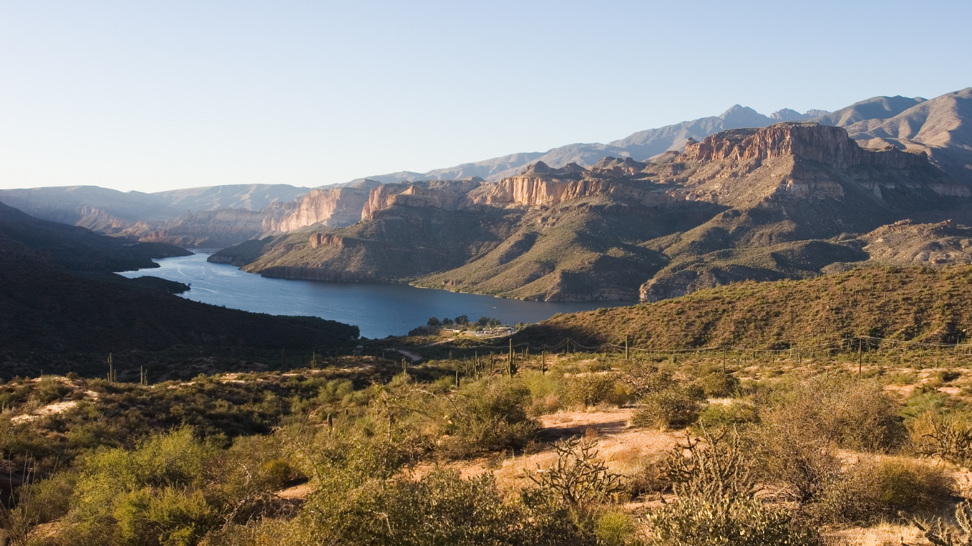
In the deepest stretches, the walls rise so sharply from the river that it can be hard to judge their scale. Four ingredients helped create that depth:
Relief: The river begins in high country and descends toward much lower basins.
Gradient: A steeper river carries sediment with more force and has more power to cut into bedrock.
Broken and varied rock: Faults, cracks, tilted layers, and changes in rock strength give water places to work.
A way to carry material away: The river removes loose rock and sediment instead of allowing the channel to fill permanently.
These same broad forces—uplift, flowing water, tributary erosion, and weathering—also shaped the Grand Canyon. But the two canyons are not geologic twins. Their scale, rock layers, structure, and river systems are different.
The resemblance helps explain why the Salt is often called Arizona’s Mini Grand Canyon, but the nickname is only a starting point. Salt River Canyon has its own geology, ecology, and character—especially from river level, where the walls and rapids feel close enough to touch.
From Snowpack to Whitewater: Where the Salt River Gets Its Water
Every spring rafting season begins months earlier, with storms falling over Arizona’s White Mountains. Snow collects in the high country, then melts into creeks and tributaries that feed the White and Black rivers. Those rivers meet to form the Salt.
Snowmelt is a major part of the Upper Salt’s seasonal pulse, but it is not the only source. Rain, groundwater, tributaries, soil moisture, and the timing of warm weather all affect the flow. Two winters with similar snowfall can still produce very different rivers if one melts slowly and the other disappears during a sudden warm spell.
That is why rafting does not begin on a fixed date every year. The Upper Salt responds to the watershed in real time. When conditions line up, the river becomes a premier spring waterway. When they do not, the rafting window may be short—or may not open at all.
For planning, current Salt River conditions matter more than a typical seasonal calendar. And when runoff does arrive, rafting the Upper Salt River offers a direct look at how mountain snow becomes desert whitewater.

A Living Homeland: Indigenous History of the Salt River Canyon
Any honest history of Salt River Canyon needs to talk about Indigenous people in the present tense. The canyon and its waters are part of the ancestral and present-day homelands of Western Apache people, including the White Mountain Apache Tribe and the San Carlos Apache Tribe.
For generations, rivers and creeks supported homes, farming, hunting, gathering, travel, trade, and connections between communities. Waterways were not just features on a map. They were, and remain, part of a lived landscape shaped by relationships, knowledge, and responsibility.
The arrival and expansion of the United States brought military campaigns, forced relocation, reservation boundaries, and major losses of land and resources. That history matters, but Apache history did not end there. The White Mountain Apache Tribe and San Carlos Apache Tribe remain sovereign nations with governments, schools, cultural programs, museums, wildlife departments, and land-management responsibilities today.
A broad overview like this can acknowledge that history, but it should not try to speak for Apache communities or retell knowledge that is not ours to share. Tribal websites, museums, archives, and cultural institutions are the best places to learn from Indigenous records and perspectives directly.
Looking for deeper history? Start with the White Mountain Apache Tribe and the San Carlos Apache Tribe. Their own records provide context that a recreation or geology article cannot—and should not—replace.
Why the Salt River Is Actually Salty
The Salt River is fresh water, not anything close to seawater. Its name makes more sense when you think about what happens as water travels through a dry, mineral-rich landscape.
Rain and snowmelt move over rock, seep through soil, and enter groundwater. Along the way, the water picks up small amounts of dissolved minerals. Tributaries add their own chemistry, and Arizona’s dry climate can make that mineral content more noticeable as water evaporates.
The amount changes with location, season, and flow. High water may dilute some minerals while carrying much more mud and sediment. During lower flows, the river’s mineral character may be easier to notice.
The geology is the starting point, but the complete answer to why the Salt River is actually salty is a story about the entire watershed.
How Geology Shapes Rapids, Side Canyons, and Wildlife
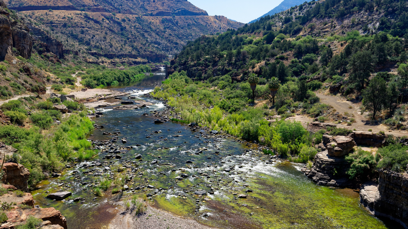
From a raft, geology is not background scenery. It decides where the current speeds up, where a rapid forms, where plants can take root, and where wildlife finds water or shelter.
Once you know what to look for, the pattern becomes easier to see:
- Hard bedrock can narrow the channel or create a ledge where water drops.
- Flash floods from side canyons deliver boulders that constrict the river and form rapids.
- Softer rock wears into slopes and benches where soil and vegetation can collect.
- Cracks and contacts between rock layers can guide springs, seeps, alcoves, and small drainages.
- Rapid changes in elevation connect forest, woodland, desert, cliff, and riverside habitats within one watershed.
That physical variety creates many habitats close together. Cottonwoods and willows follow reliable moisture. Cliffs provide nesting and roosting sites. Shaded side canyons stay cooler than exposed slopes, while terraces above the active channel offer different food and cover.
Quartzite Falls makes the connection especially clear. The rapid is not sitting in that location by chance. Resistant rock, channel shape, and debris all influence the route the water takes. A geologic map can name the formation; running the river shows what the formation actually does.
The same connection appears in many of the top things to see in Salt River Canyon. The cliffs, side canyons, rapids, and wildlife habitat are not separate attractions. They are parts of one system.
Experience the Canyon from the River That Carved It
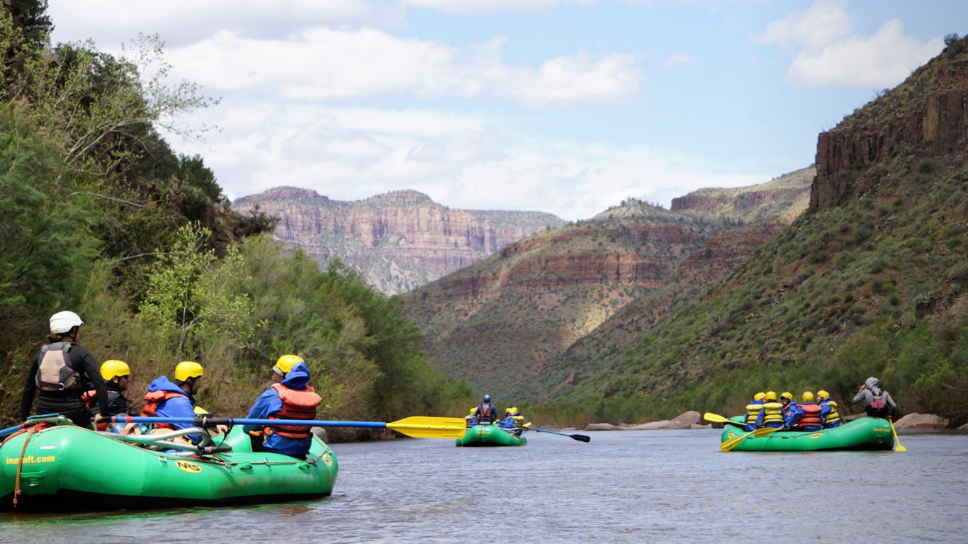
Most visitors first see Salt River Canyon from above. From U.S. Route 60, the river looks like a narrow line far below. Rafting reverses that view. The river becomes the road, and the canyon reveals itself one bend at a time.
From the water, you can follow tilted layers around a corner, spot dark diabase against lighter rock, pass fresh-looking piles of debris below side canyons, and feel the current accelerate where the channel tightens. Calm stretches give you time to study the walls. Rapids make the geology immediate.
You do not need to become a geologist to understand what you are seeing. The basic story is visible all around you: ancient rocks formed first, the land rose and broke, water found a downhill path, and the Salt has been carving and rearranging that landscape ever since.
The river should also never be treated as scenery separated from its Apache homeland. Seeing the canyon clearly means holding its geologic and human stories together.
When spring runoff provides the opportunity, a trip through the Upper Salt is one of the most immersive ways to experience that relationship among ancient rock, moving water, living culture, and a canyon that is still being formed.
How was Salt River Canyon formed?
Salt River Canyon formed in stages. Ancient rock created the foundation, mountain building and faulting produced relief, and the Salt River cut downward while floods, tributaries, weathering, and rockfall widened the canyon.
How old is Salt River Canyon?
Many rocks exposed in the canyon are hundreds of millions to more than a billion years old. The canyon itself is much younger and developed through several periods of river cutting and widening, so it does not have one simple age.
What kinds of rock are found in Salt River Canyon?
The canyon includes quartzite, sandstone, shale, limestone, and dark diabase intrusions. The river crosses different formations as it flows, which is why the walls and rapids can change dramatically from one reach to the next.
Who are the Indigenous people of Salt River Canyon?
Salt River Canyon lies within the ancestral and present-day homelands of Western Apache people, including the White Mountain Apache Tribe and San Carlos Apache Tribe. Tribal governments and cultural institutions are the best primary sources for deeper history and present-day perspectives.
Where does the Salt River begin?
The Salt River begins where the White and Black rivers meet in eastern Arizona. Snow, rain, groundwater, and tributaries from the high country around the White Mountains all contribute to its flow.
Why does Salt River Canyon have whitewater?
Whitewater forms where gradient, bedrock, narrow channels, boulders, and tributary debris interrupt the flow. Spring runoff adds the volume and force that turn those features into rapids.
Is Salt River Canyon the same as the Grand Canyon?
No. The two share broad processes such as uplift, erosion, and river cutting, but they differ in size, rock formations, structure, and river system. The “Mini Grand Canyon” nickname describes the dramatic scenery, not a geologic match.
Can you visit Salt River Canyon year-round?
Highway overlooks can generally be visited through much of the year, depending on road and weather conditions. Rafting is seasonal and depends on runoff, so current river conditions should always be checked before planning a trip.